Hike in Huron
Stops Along the Trails
Huron County is home to some of the best hiking in Ontario. Over 30 trails are open to the public and provide a variety of experiences from trails that are wheelchair accessible to moderate or difficult routes. Each trail is unique and each season brings a different experience. Spring and early summer are especially interesting and here are a few stops that you won’t want to miss.
HULLETT PROVINCIAL WILDLIFE AREA (HPWA)
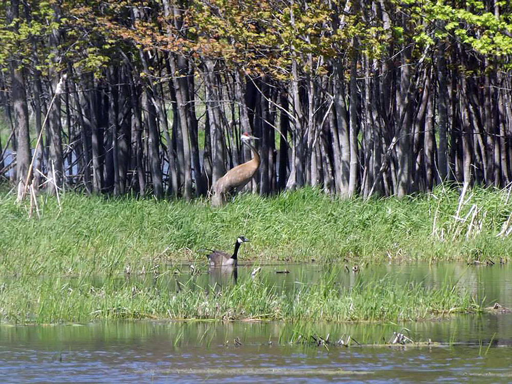
Spring in the marsh is an exciting time. Take a hike on one of the dyke trails and immerse yourself as nature comes back to life from her long winter hibernation. Numerous species of waterfowl, great blue herons, sandhill cranes and bald eagles raise their young among the ponds and marshes of HPWA.

Keep your eyes open for turkeys, deer, muskrat, turtles and beavers as you walk the trails that meander through the woodlands. Excellent wildlife watching can be found from the viewing stands at the parking lots on Summerhill Road. For the more intrepid hiker, venture down to the Burns Sideroad entry point (81001 Burns Line). Here you will find a dyke trail that takes you past several nursery ponds. On the short forest loop trail, watch for the many deer trails that crisscross over the man-made blazed trail.
One of the bonuses of the HPWA is the variety of trail lengths. Depending on how much time and energy you have, you can spend an enjoyable half-hour jaunt out and back on one of the dykes or spend hours hiking through the forest trails and out on to the dykes. Just don’t forget your camera and, for the wildlife enthusiast, a set of binoculars. Guides for 2018/19 can be found in the yellow boxes in the parking lots.
WAWANOSH NATURE CENTRE
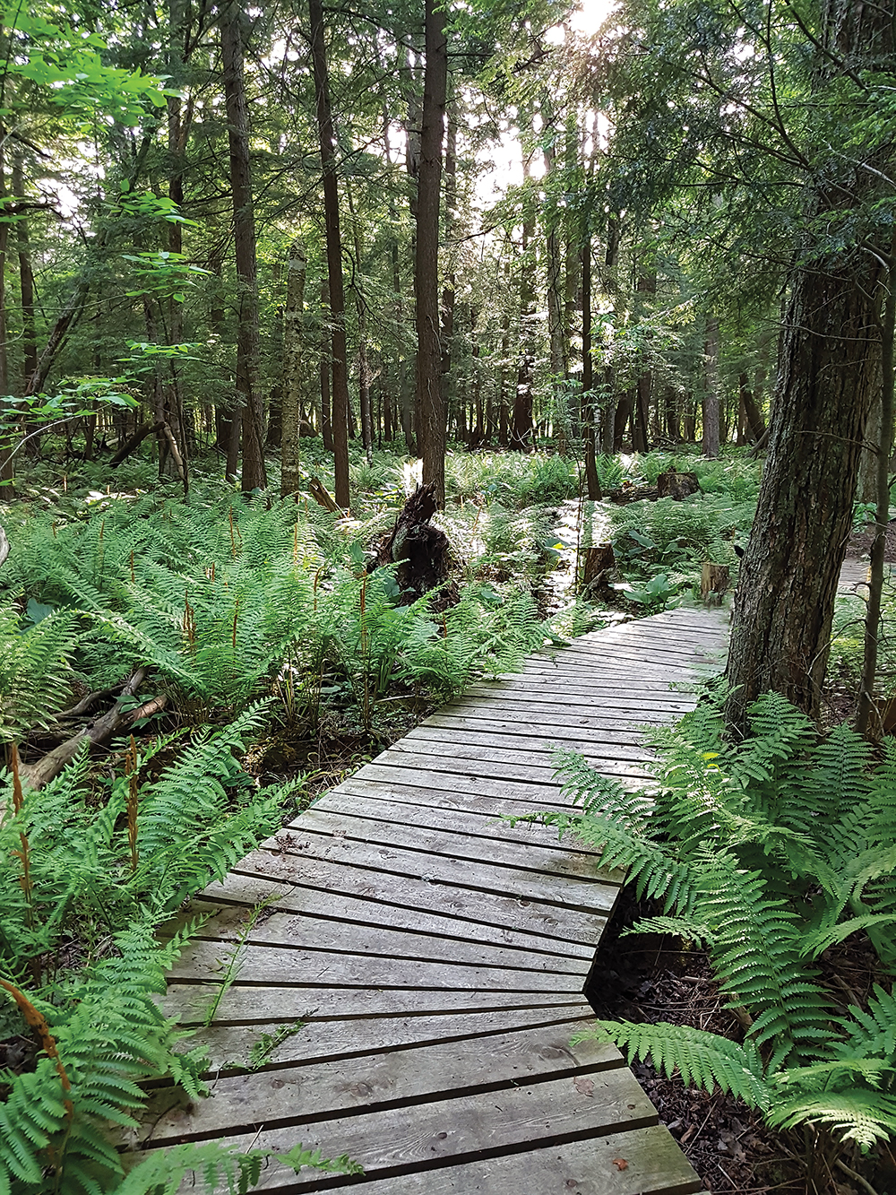
The Wawanosh Nature Centre has a loop trail that traverses a diverse forest and meadow area and then travels the bank of  Maitland River back to the parking lot. Spring is a highlight on this trail with a boardwalk that curves through a hemlock forest, where the sun peeks through the tall trees to highlight a beautiful forest floor blanketed with ferns. Trilliums abound and the lucky hiker will catch a glimpse of deer and wild turkeys in this riverside conservation area. 38854 Nature Centre Road, Belgrave.
GODERICH TO AUBURN RAIL TRAIL (G.A.R.T.)
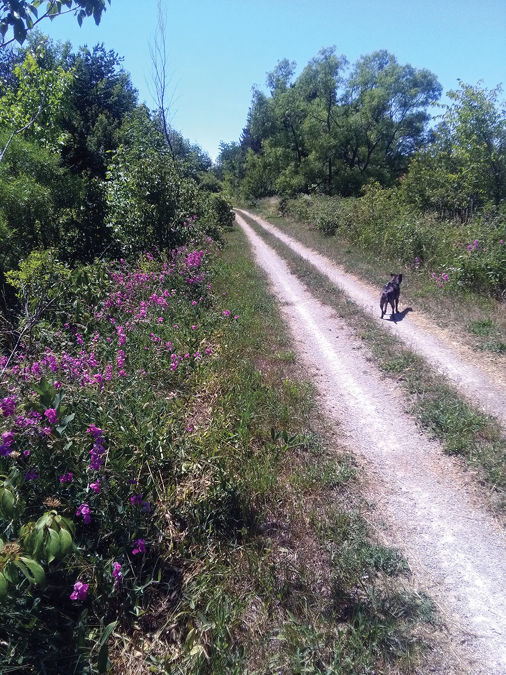
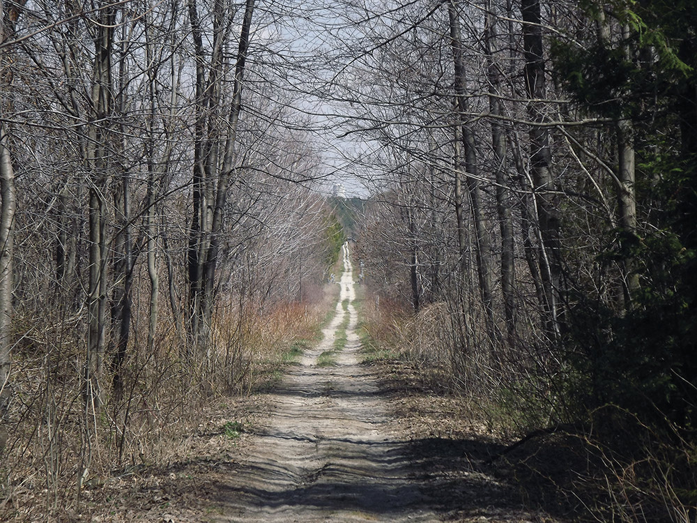
Hiking after a rain can sometimes be tricky with muddy patches on many of the area trails. When the storm subsides and you feel the need to get out into nature, but many of the trails are still sodden, consider the Goderich to Auburn Rail Trail, a section  of the 127-km long Goderich-to-Guelph (G2G) Trail. As a former railway bed, it is typically elevated, has excellent drainage and the volunteers keep it in great shape, so it is an excellent choice for family hikers and cyclists. (Please remember that motorized vehicles except snowmobiles are prohibited.)
A great starting point for late spring/early summer is from Sharpe’s Creek Line (from County Road 25, head south and the trail entry point is just past School Road). Head west for about two kilometres and you will reach the Maitland River, with a great view from the concrete abutment where the old railway bridge used to cross the river. Head east and you will venture past a gravel pit, and farmers’ fields before you cross Sharpe’s Creek on a wooden bridge. About 20 minutes later, you will curve past a pond filled with singing frogs, sunning turtles and the odd muskrat and wood duck. The GART is an excellent vantage point to appreciate the songbirds, wrens and finches that inhabit the hedgerows that line the old railway.


